NASA has a long record of monitoring Earth’s sea surface height, information critical not only for tracking how the ocean changes over time but also for hurricane forecasting. These extreme storms can cost the United States billions of dollars each year, wreaking havoc on lives and property. Meteorologists have worked to improve forecasts for a hurricane’s path, or track, as well as its intensity, measured as surface wind speed. Sentinel-6B, the U.S.-European satellite launching later this year, will help in that effort.
The satellite is the second of two spacecraft that constitute the Sentinel-6/Jason-CS (Continuity of Service) mission, a collaboration between NASA, ESA (European Space Agency), EUMETSAT (the European Organisation for the Exploitation of Meteorological Satellites), and the U.S. National Oceanic and Atmospheric Administration (NOAA). With its launch planned for no earlier than Nov. 16, 2025, Sentinel-6B will take over from its twin, Sentinel-6 Michael Freilich, which launched in November 2020 as part of a long line of U.S.-European missions that have monitored sea levels since 1992.
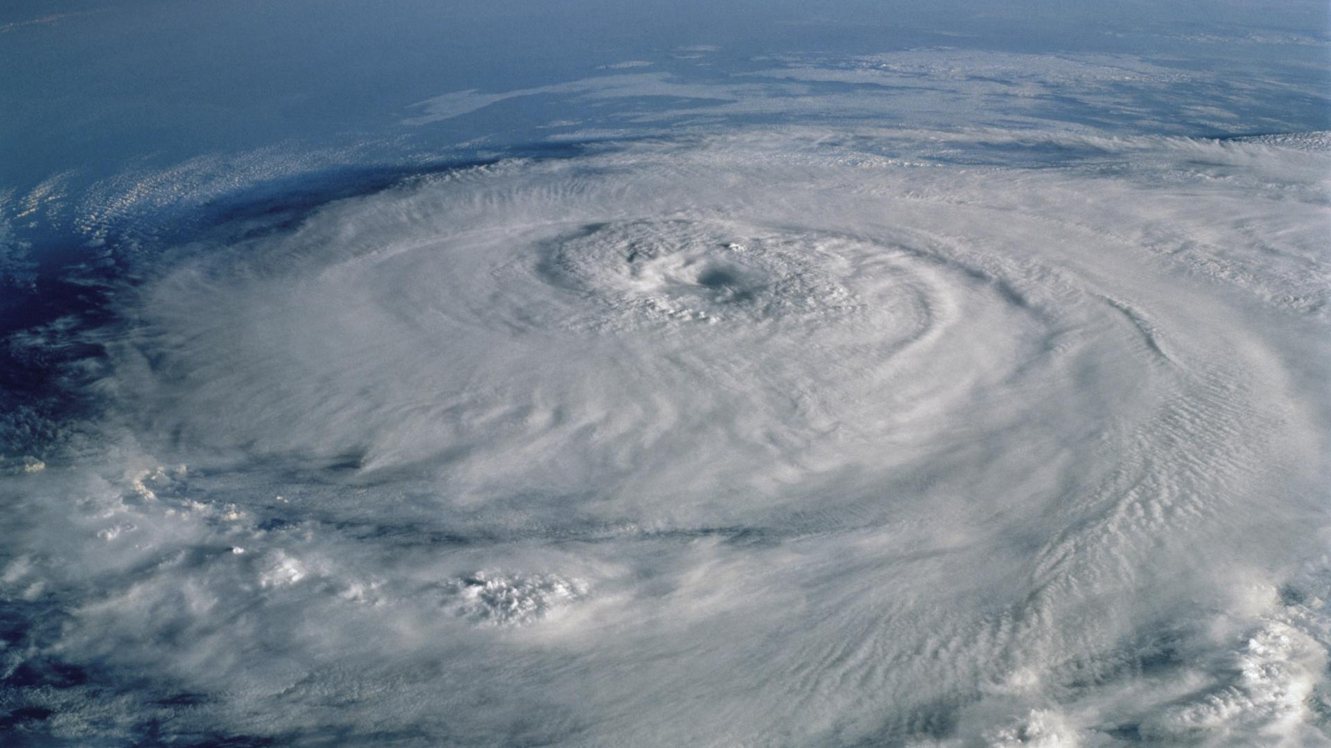
These illustrations show ocean heat on Oct. 7, 2024, left, and Oct. 9, right, as Hurricane Milton passed over very warm seawater and rapidly grew. Red and yellow indicate more heat; blue and green are cooler. A satellite image of the hurricane shows the storm’s position as it moves toward Florida’s west coast. Credit: NOAA
“Sentinel-6 will track global changes in Earth’s ocean — height, heat, and movement — and will improve forecasts of local extremes like floods and hurricanes, linking planetary trends to real-world risks for communities,” said Nadya Vinogradova Shiffer, Sentinel-6 program scientist at NASA Headquarters in Washington.
The decades-long, U.S.-European ocean dataset has been key to helping researchers advance hurricane intensity forecasting. Warm water fuels hurricanes. And since water expands as it warms, sea surface height can tell researchers which regions of the ocean are warm enough to supercharge a hurricane.
Get the JPL Newsletter
Never miss a discovery! Get the latest updates from JPL delivered straight to your inbox..
“A deep layer of warm seawater is literally taller than a shallow layer of warm water,” said Josh Willis, Sentinel-6B project scientist at NASA’s Jet Propulsion Laboratory in Southern California. So sea surface height can be used as a proxy for the amount of heat in the ocean.
Fueling Hurricanes
There are two main ways that forecasters use sea level measurements, said Mark DeMaria, a senior research scientist at Colorado State University in Fort Collins. One way is to help set the proper ocean conditions in ocean-atmosphere hurricane forecast models utilized by the National Hurricane Center.
The second way is by feeding sea level data into machine learning models that forecasters use to predict whether a hurricane will undergo rapid intensification, where its wind speeds increase by 35 mph (56 kph) or more within 24 hours. Meteorologists include both water temperature measurements from sensors drifting in the ocean and sea surface height data collected by Sentinel-6 Michael Freilich as well as other satellites.
Hurricanes churn the ocean as they pass overhead, mixing the top layers of seawater. If the storm encounters a shallow pool of warm seawater, its winds can stir things up, pulling cooler waters from the depths to the surface. This can hinder rapid intensification. But if the warm pool of seawater extends deep into the ocean, those winds will only stir up more warm water, potentially resulting in the hurricane’s rapid intensification.
“Hurricane Milton is a perfect example of this,” said DeMaria, who was previously a branch chief at the National Hurricane Center in Miami and helped to develop hurricane intensity forecast models. Milton experienced an intense period of rapid intensification — an event that was forecast using a model fed partly with data from Sentinel-6 Michael Freilich. From Oct. 6 to Oct. 7, 2024, Milton exploded from a Category 1 hurricane to a Category 5, producing wind speeds as high as 180 mph (289 kph). The storm weakened to a Category 3 — still a major hurricane — by the time it made landfall near Sarasota, Florida, on Oct. 9.
Forecast Improvements
While the U.S.-European series of sea level satellites began collecting measurements in 1992, it wasn’t until the early 2000s that meteorologists started working with data from satellites in operational hurricane intensity forecasts such as the ones used by the National Hurricane Center. Before then, forecasts relied on models and ocean surface temperature measurements that weren’t always able to identify warm, deep pools of seawater that could induce rapid intensification in a hurricane.
Improvement efforts got a boost when the U.S. federal government started a program in 2007 aimed at advancing these types of forecasts. Since then, the program has helped move improvements made in the research realm — such as in hurricane forecast reliability and accuracy, extensions in the lead time for predictions, and reduced forecast uncertainty — into operational use.
The investment has been money well spent, said Renato Molina, an economist at the University of Miami who has analyzed the economic impact of improving hurricane forecasts. An accurate, timely forecast can give communities time to prepare, such as by boarding up homes and businesses or evacuating an area. The monetary savings can reach into the billions, he added.
While a host of atmospheric and oceanic characteristics go into hurricane forecasts, the inclusion of sea level data from satellites like Sentinel-6 Michael Freilich and, soon, Sentinel-6B has been an important addition. “We need data from sensors in the ocean as well as satellite data — they go hand-in-hand,” said DeMaria. “It would be impossible to do what we do without the satellites.”
More About Sentinel-6B
Sentinel-6/Jason-CS was jointly developed by ESA, EUMETSAT, NASA, and NOAA, with funding support from the European Commission and technical support from France’s space agency CNES (Centre National d’Études Spatiales).
NASA JPL, a division of Caltech in Pasadena, contributed three science instruments for each Sentinel-6 satellite: the Advanced Microwave Radiometer, the Global Navigation Satellite System - Radio Occultation, and the Laser Retroreflector Array. NASA is also contributing launch services, ground systems supporting operation of the NASA science instruments, the science data processors for two of these instruments, and support for the U.S. members of the international Ocean Surface Topography Science Team.
For more about Sentinel-6/Jason-CS, visit: