About JSGT
What is JSGT?
The JPL Space Geodesy Task (JSGT) provides NASA Earth Science with software and products for the precise positioning of science platforms in an accurate and stable Terrestrial Reference Frame (TRF). The Task provides critical capabilities in support of NASA’s Earth Science Program. JSGT is a component of the NASA Space Geodesy Program, which also contains the Space Geodesy Project, at Goddard Space Flight Center.
This page describes the JSGT in its current form, as described in the JPL Task Plan, as well as providing links to obtain more information about certain Task elements. In the future, the content of this page may be expanded to provide more information or accomplish other objectives.
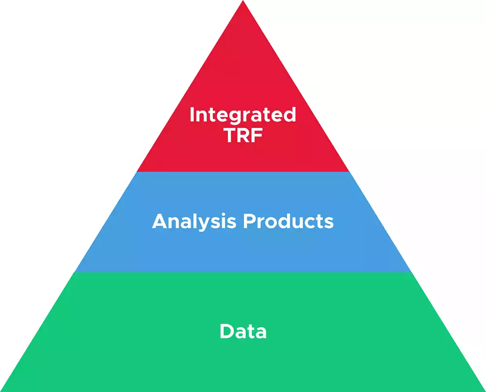
JSGT Guiding Strategy
The long-term strategy guiding future activities of the Task consists of four components:
Maintain Leadership in GNSS Based Geodesy
As NASA’s lead Center for Global Navigation Satellite Systems (GNSS) based Geodesy, JPL will maintain this leadership by ensuring the NASA Global GNSS Network (GGN) is a state-of-the-art scientific GNSS Network and the JPL Geodetic Analysis Center produces the highest quality GNSS based analysis products.
International Engagement
JPL will engage with interagency and international organizations in geodesy and related fields to foster and facilitate the implementation of a Space Geodesy architecture by the international community that meets NASA’s needs and benefits the science community dependent on Geodesy.
Architecture Trade Studies
JPL will develop and maintain a target architecture for an international geodetic infrastructure that will meet NASA’s needs, considering the latest and best results from research in data analysis methods and tools. The target architecture will optimize investments by NASA and others in new geodetic infrastructure, and be updated when appropriate to reflect the results of research in data analysis and instrumentation.
Innovation
JPL will conduct research seeking to enable the optimal use of all available geodetic data, including the Global Navigation Satellite System (GNSS), Satellite Laser Ranging (SLR), Very Long Baseline Interferometry (VLBI), Doppler Orbitography and Radiopositioning Integrated by Satellite (DORIS), and space and ground ties. JPL will then implement the results of this research into innovative systems leading to new and improved analysis products that support Earth Science missions and other science applications.
About JSGT
JSGT Elements
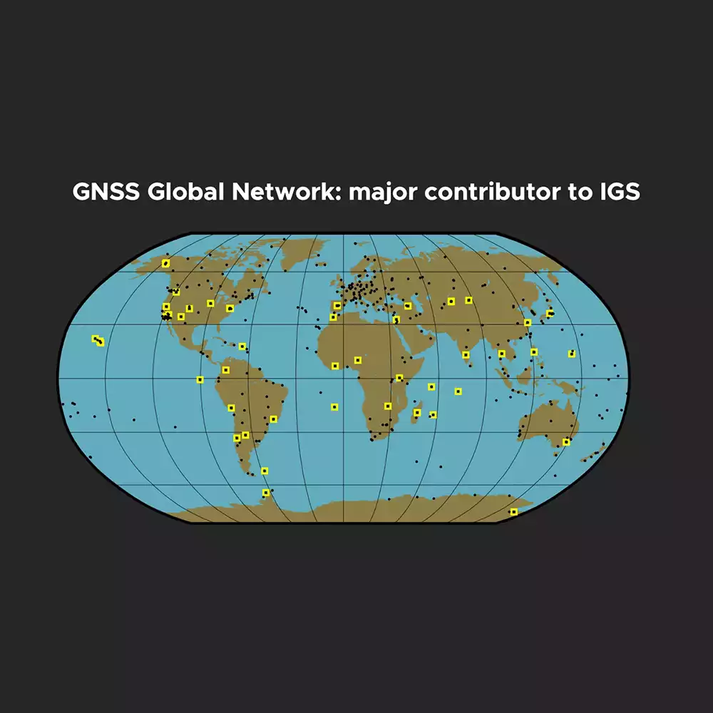
JSGT Elements
The Global GNSS Network
JSGT Elements
The Geodetic Analysis Center
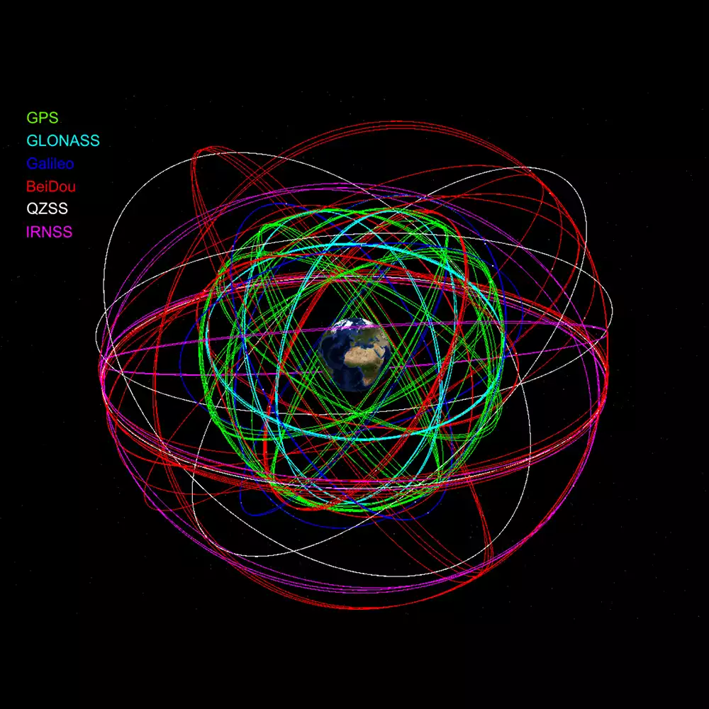
The Geodetic Analysis Center produces analysis products, such as precise GNSS orbits and clock estimates and space geodesy ground station positions, from space geodesy measurements. The heart of the Geodetic Analysis Center is the modernized GNSS-Inferred Position System (GipsyX) software, which is also provided to a user community of flight projects and researchers. The JPL Geodetic Analysis Center also participates in the International GNSS Service (IGS) and an IGS Analysis Center.
Related Links:
JPL GipsyX GNSS data processing software
JPL GNSS orbit and clock products
JPL GNSS ground position time series
JSGT Elements
The Terrestrial Reference Frame Combination Center
The Terrestrial Reference Frame Combination Center (TRF CC) uses data and analysis products from all geodetic techniques to produce and provide a high-quality combined terrestrial reference frame (TRF) and other products to support NASA’s missions and science. The TRF CC also supports the International Earth Rotation and Reference Systems Service (IERS) by providing candidate solutions for the International Terrestrial Reference Frame (ITRF) and assessing the quality of candidate solutions from other institutions.
JSGT Elements
International Engagement
JPL hosts the Program’s International Coordination and Partnership Office (ICPO). ICPO ensures NASA’s interests are properly represented in key organizations and that international cooperation is secured when needed to meet the Program’s objectives. ICPO also ensures that NASA’s efforts are aligned with and support the work of the international geodesy community.
JSGT Elements
International GNSS Service
JPL also hosts the Central Bureau of the International GNSS Service. The IGS Central Bureau ensures that administrative and organization tasks critical to the IGS functionality are performed in a consistent and high-quality manner. The Central Bureau ensures standardization and reliability across the all-volunteer organizational components, to the direct benefit of the GNSS community and society in general. Central Bureau tasks typically focus on coordination, organization, documentation, and communication, and may vary from highly technical support of information systems, such as systems supporting the IGS Website, to the work of a traditional organization secretariat.
About JSGT

